Drone Survey
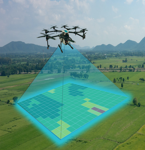
Drone surveying, a service provided by Global Survey and Design Services, revolutionizes the way data is collected for projects. We obtain LiDAR data and high-resolution aerial imagery with remarkable efficiency and precision by using state-of-the-art drone technology. Drones are utilized by our proficient crew to carry out surveys for diverse purposes, such as building, land development, environmental surveillance, and infrastructure examination. We can swiftly and safely collect extensive data with drone surveying, even in difficult-to-reach places. Using our cutting-edge tools and experience, we provide comprehensive maps, 3D models, and useful insights to meet your project's requirements. When it comes to dependable and creative drone surveying solutions that go above and beyond, rely on Global Survey And Design Services.